Shanghai, China, August 4th, 2022 – Today SingularXYZ announced the release of local coordinate system GIS data collection solution, which saves GIS users from the coordinate system conversion work after data collection, greatly reducing their workload.
Unlike surveyors who need to set the projected coordinate systems before surveying, most GIS users will collect positioning data with geodetic coordinate system, i.e. latitude, longitude and ellipsoidal height. Most GIS data collection software also uses the geodetic coordinate system for data collection by default.
Against this background, GIS users always need to convert the collection points from the geodetic coordinate system to the local coordinate system according to different project requirements. For GIS companies with their own GIS platforms, they often need to develop coordinate system transformation functions on their own GIS platforms.
After in-depth cooperation with some GIS companies, SingularXYZ team gradually realized this inconvenience and came up with a solution. As a result, the local coordinate system GIS data collection solution was released.

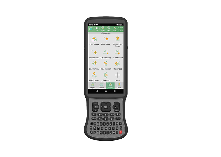
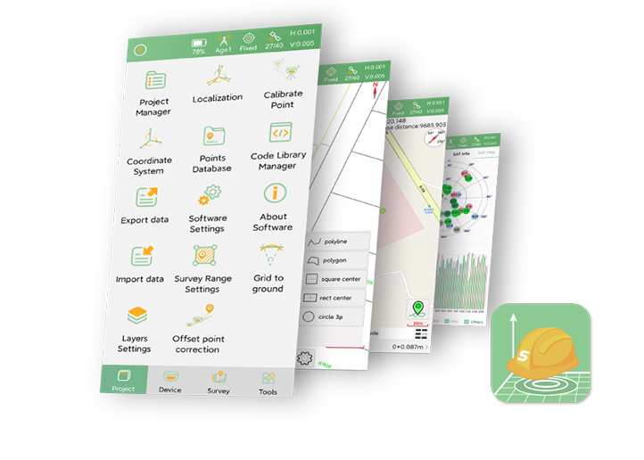
Based on the SingularPad field software, SingularXYZ team has added the location service function, allowing GIS users to directly set the projected coordinate system and perform coordinate system transformation in the SingularPad software, and then collect local coordinates via their GIS software or platform.
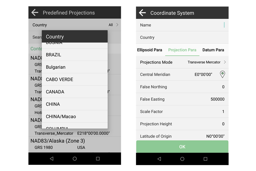
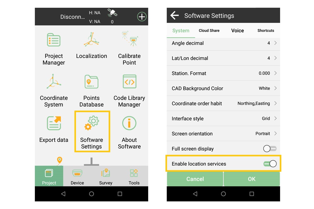
After enabling the location services in SingularPad software and selecting SingularPad as the mock location APP of your PDA device, both geodetic and local coordinates can be provided by the PDA device location service. Then you can select the coordinate system on the GIS platforms according to your requirements.
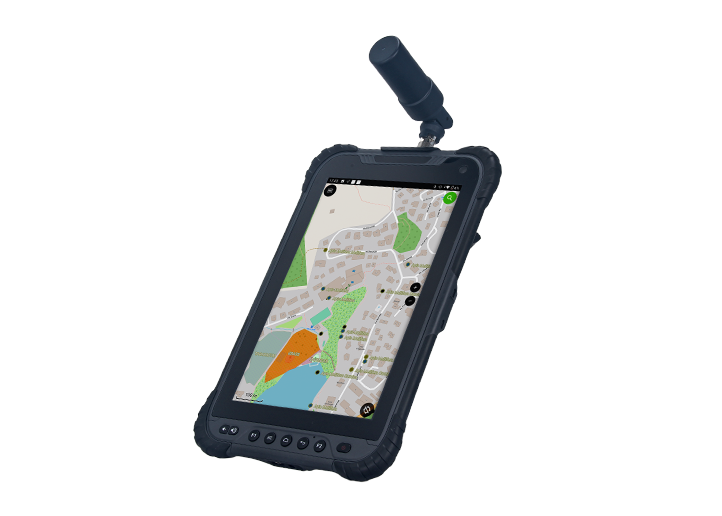
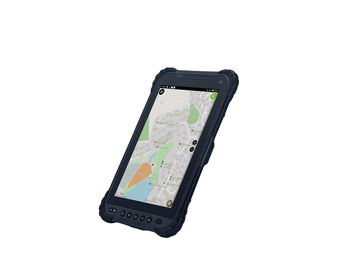
Used in conjunction with GIS devices such as the SingularXYZ T8 Pro/TH10 Pro GNSS tablet, users can easily collect local GIS data from the tablet. Meanwhile, SingularPad software is compatible with most NMEA devices, users can freely connect with their own devices.
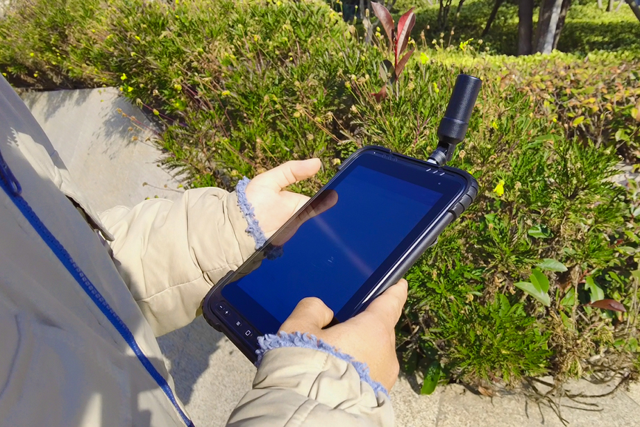
Learn more about SingularXYZ T8 Pro GNSS tablets and related products.
https://www.singularxyz.com/T8Pro.html
https://www.singularxyz.com/TH10Pro.html
https://www.singularxyz.com/SingularPad.html
About SingularXYZ®
SingularXYZ Intelligent Technology Ltd. is focused on high precision GNSS PNT (Positioning, Navigation & Timing) technology, extending its coverage to horizontal and vertical industries, which mainly include geospatial information, precision agriculture, machine control, robotics, telecommunications, IoT and etc., providing customers with reliable, stable and professional products, solutions and service.







































































 首页
首页

 2026-07-08